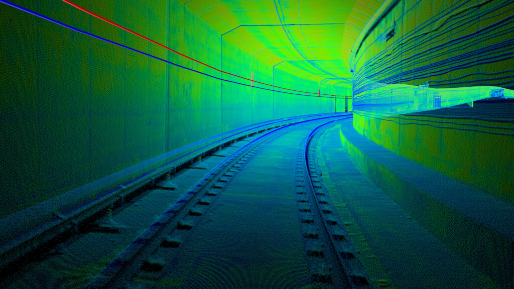
LiDAR stands for Light Detection and Ranging, sometimes called laser scanning or 3D scanning. This technology uses eye-safe laser beams to create a 3D representation of the surveyed environment. The scanner measures the time it takes for a light laser beam to return from the surface it scans back to the scanner’s sensor.
This data is then used to create a 3D point map, or Point Cloud which consists of millions of laser points triangulated into 3D vertices which then can be decimated to achieve specific point spacing with maximum precision point count. Every subtle aspect of an interior or exterior environment can be captured to an extremely accurate and detailed rendering, serving as the foundation of interactive digital maps and models.
LiDAR can be used to replicate any location or set for 3D modelling, environment enhancements, and set extensions. It can assist in pre-visualization and virtual scouting, allowing you and your team to conceive, design, optimize and collaborate seamlessly within your entire production pipeline from inception to publication.