


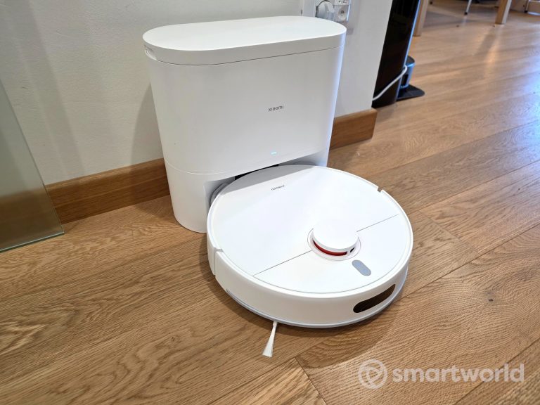

Questo Xiaomi Robot Vacuum H40 era stato anticipato in altre regioni del mondo e a lungo atteso...
Il nuovo LEGO Ideas Gizmo 21361 porta a casa il mito di Gremlins: 1.125 pezzi, dettagli unici...
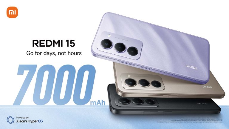
Xiaomi lancia Redmi 15 e 15C in Italia: batteria fino a 7000 mAh, display da 6,9 pollici...
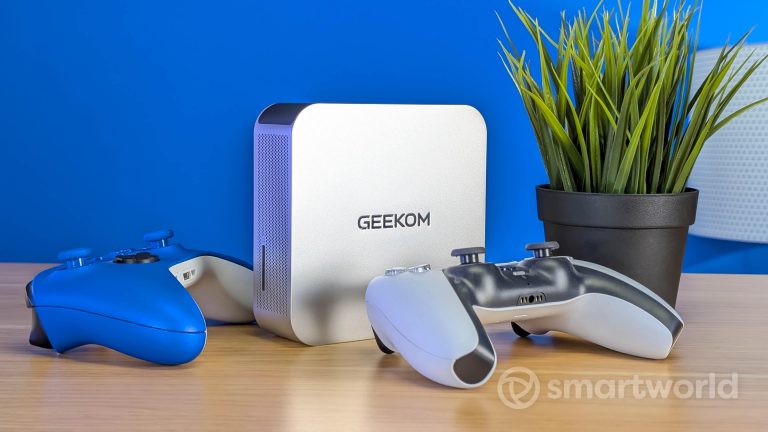
Recensione GEEKOM A9 Max: mini PC compatto con Ryzen AI 9 HX 370, prestazioni elevate, ottimo anche...

Tesla lancia la nuova Model Y Performance con 460 CV, 580 km di autonomia WLTP e prezzo...

HONOR triplica la quota dei pieghevoli in Europa con il nuovo Magic V5 e traina un mercato...
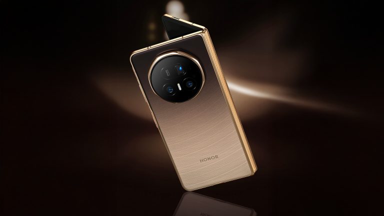
HONOR porta finalmente anche in Italia il suo smartphone pieghevole di punta: HONOR Magic V5. Già presentato...
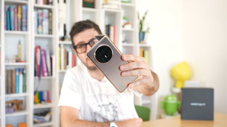
Abbiamo provato Honor Magic V5: sottilissimo, potente e con 7 anni di update. È davvero il miglior...
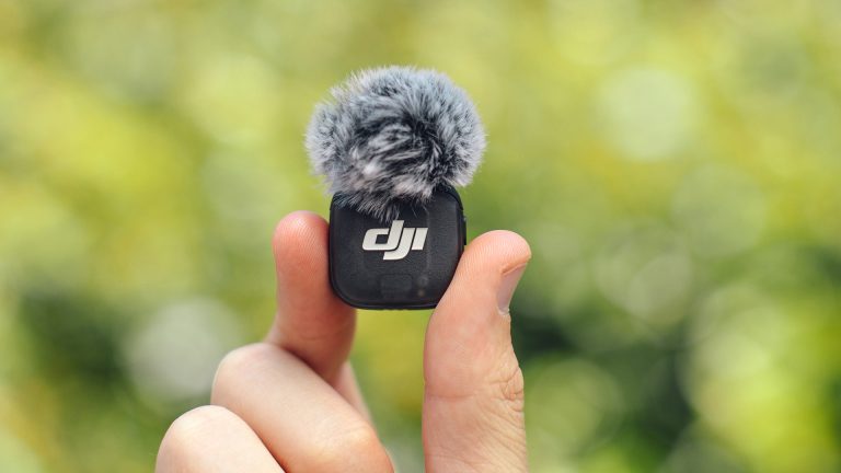
Ecco DJI lancia Mic 3: microfono wireless da 16 g con registrazione a 32 bit float, cancellazione...

Metal Gear Solid Delta disponibile da oggi PS5, Xbox e PC. Scopri se vale la pena acquistarlo.L'articolo...